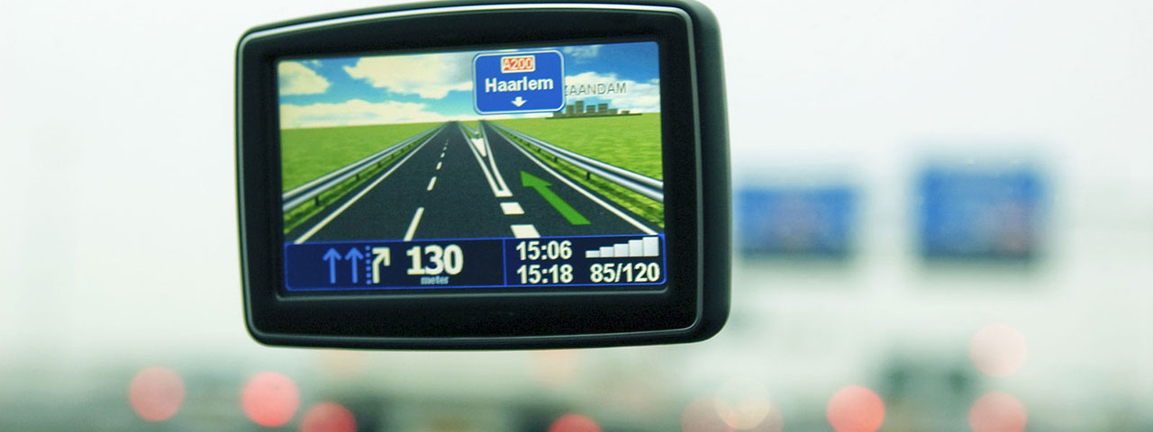
Just what exactly is a photogrammetrist? Good question. You might say they're 3D mapmakers. Photogrammetrists use aerial photographs, satellite images, and other high-tech data collection methods to build 3D models of the Earth. These models can then be used to make maps of all kinds, for land developers, governments, research teams, and even average consumers. Maps are not just for telling us names of streets anymore—they can be interactive and show us changing weather patterns, traffic congestion, or the best mountain-climbing paths. If you're curious about the world and you're detail-oriented, this is a growing career that could be right on target for you.
The Details
The world can be a dangerous place—photogrammetrists create maps that are essential in helping people stay safe as they travel around the globe, whether doing important social work or just having fun.
Mapmakers in this field can produce some pretty cool things—in fact, the science of photogrammetry was used to develop Google Earth.